A question from the coast
This project began with a question that sounds simple: how can we survey coastal marine litter more efficiently, and understand where it gathers along a whole stretch of coast, not just in the spot where someone happens to be standing?
Drones seemed like an obvious answer. They are affordable, they cover a lot of ground, and they can fly over places that are tiring or impossible to walk, including the water itself. But the more UAV images I looked at, the more I noticed how hard the problem really is. Coastal marine litter is small and scattered, both on the sand and floating near the shore. It hides among driftwood, seaweed and pebbles, or blends into waves and reflections. When it is wet, a plastic bag can look a lot like the sand or water around it. Most detection methods only use ordinary color images, and in those conditions, color alone often isn’t enough.
That was the starting point for my master’s research in the Mizuno Laboratory at the University of Tokyo: if color isn’t enough, what else can a camera see?
Starting small, in a tank
The drone I work with, a DJI Mavic 3 Multispectral, records not only regular RGB photos but also narrower bands such as red edge and near-infrared, light our eyes can’t see. It was tempting to feed every one of those channels into a detection model and hope for the best. But I didn’t want to add complexity without knowing why it helped.
So before flying over the coast, I started small. I set up a controlled tank experiment and photographed four kinds of plastic — bags, ropes, foam and bottles — in three states: dry, wet and submerged. With a white reference in every scene, I could compare how each material reflected light in each band, and ask a very plain question: which of these bands actually helps tell litter apart from its background?
This stage was slow and not very glamorous. It meant careful photographing, a lot of checking, and many plots. In the end, the analysis pointed to near-infrared as the most useful extra cue.
The part that didn’t line up
One step took far more effort than I expected, and it was something I had barely thought about at the start: making the images line up.
A multispectral drone doesn’t capture every band through the same lens. Each sensor sees the scene from a slightly different position, so if you simply stack the bands on top of each other, the edges of objects split into colored fringes. For large objects this is just annoying. For a small piece of plastic, it can mean the “extra information” sits a few pixels away from the very thing you are trying to detect.
I ended up building a two-step alignment process: a rough correction first, then a finer registration to clean up what was left. Getting it to work on the tank images was one thing. Getting it to work on outdoor images — full of grass, sand and wave patterns — was another, and it took several rounds of trying, checking and trying again. Looking back, this was one of those moments when the project didn’t go as planned and had to be rethought. It was also the step that made everything after it trustworthy.
Less turned out to be more
Once the bands were aligned, I could finally compare different combinations. My early expectation was that more information would simply mean better results. Instead, the experiments kept pointing in a quieter direction: adding just one near-infrared band to ordinary red and green worked better than using every channel at once.
I liked this result more than I expected to. It meant the answer wasn’t “add more sensors and build a bigger model,” but something simpler and more practical: a small, well-chosen input that other people could realistically use.
Out to the Rokudōji coast
The real test was outside. Our field site was the coast around Rokudōji Beach in Imizu, Toyama, where litter reportedly piles up far above the prefecture’s average. We flew over both the beach and the nearshore water. Working there was very different from working in the lab. The light changes, the wind moves things around, waves reflect the sky, and nothing stays neatly in place.
The compact near-infrared input that had worked in the tank also held up on real coastal images.
Then a new question came up. Flying low gives sharp images but covers only a small area. Flying high covers the whole stretch of coast, but the litter shrinks into a few blurry pixels. So I began exploring super-resolution — reconstructing sharper images from low-resolution ones — to see whether higher-altitude flights could still support detection. It is still early work, but it points toward what I really care about: not only finding individual pieces of litter, but seeing how litter is distributed across an entire coastline.
One poster, one page
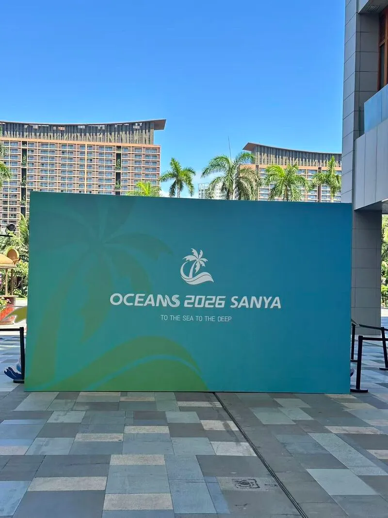
When I learned that my paper had been selected for the Student Poster Competition at OCEANS 2026 in Sanya, I was excited and honored — and a little nervous. It was my first international conference, and my first time presenting to such a broad audience.
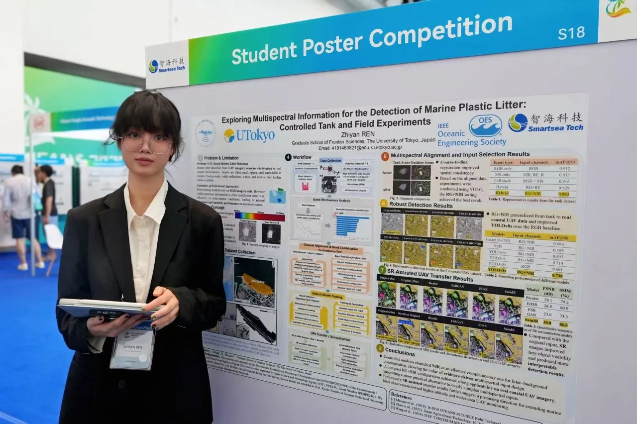
Preparing the poster turned out to be its own kind of research. The project connects many steps — image processing, band selection, alignment, detection and higher-altitude observation — and after living with it for so long, it all felt obvious to me. It was not obvious to someone seeing it for the first time. I simplified figures, moved arrows around, shortened labels, and kept asking myself what a visitor should understand first. Fitting the whole journey onto a single page forced me to see which parts really mattered.
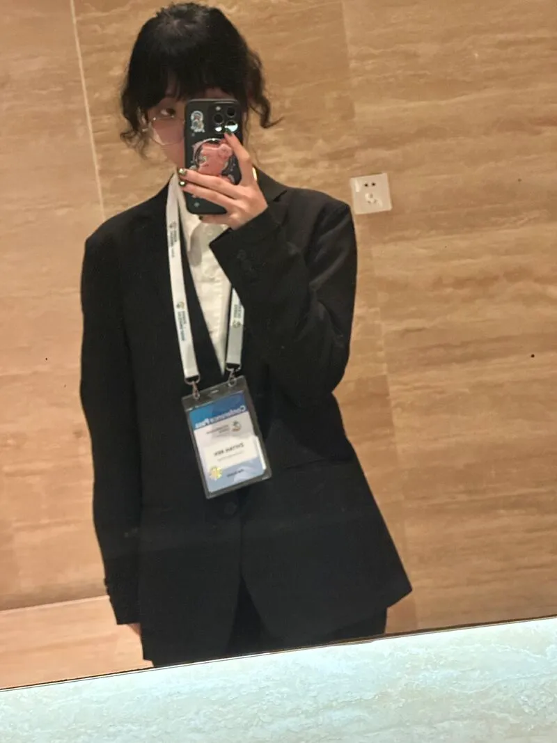
Sanya
The poster session became one of my favorite parts of the conference. People came to the work from completely different directions: marine environmental monitoring, UAV sensing, multispectral imaging, AI, practical deployment. Each question made me look at the project from a new angle, and explaining the same work again and again helped me see more clearly how its technical pieces connect to one practical problem.
The conference theme, “To the Sea, To the Deep,” stayed with me. Around me were people working on underwater robots, ocean sensors, autonomous systems and environmental monitoring — everyone approaching the ocean from a different side, with the same curiosity about what is still unknown. My own corner of that world is small, but in Sanya it felt like part of something much larger.
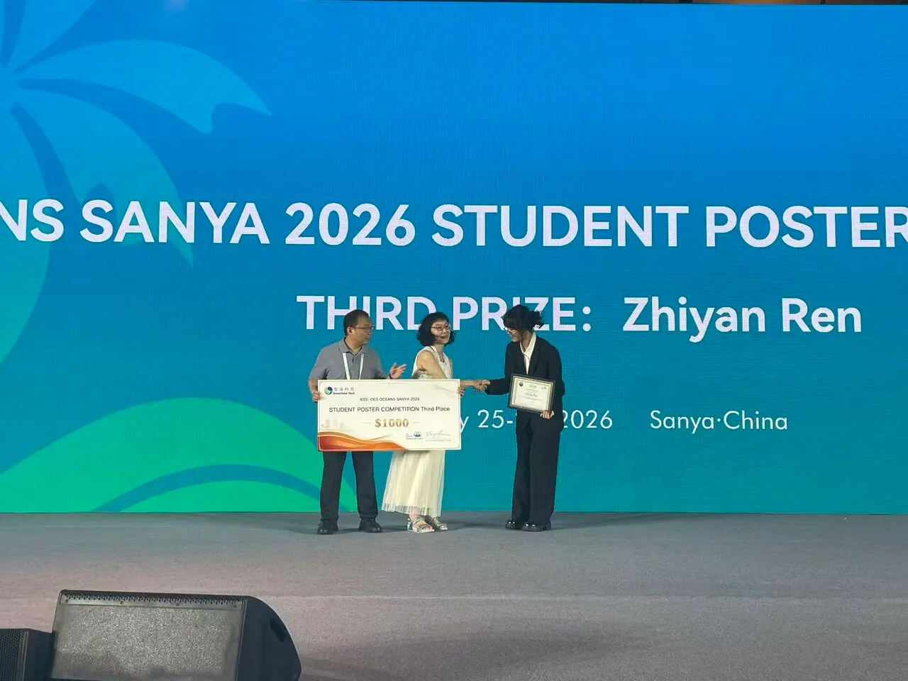
Then came the award ceremony. Receiving the Third Prize was a wonderful surprise. The project had gone through so many stages, including plenty of moments when things didn’t work and had to be reconsidered, that seeing it recognized made all of that effort feel worthwhile.
What I’m taking with me
I’m grateful to my supervisor, Prof. Katsunori Mizuno, for his steady guidance and encouragement; to the Mizuno Laboratory and the Department of Environment Systems at the Graduate School of Frontier Sciences; and to my co-author, Jiaqi Wang. The fieldwork was made possible by the support of Kitaken Consaru Co., Ltd. and the guidance of Prof. Kyuka Tomoko of Toyama Prefectural University. In Sanya I also had the chance to meet Prof. Toshihiro Maki, Prof. Harumi Sugimatsu and Prof. Tamaki Ura. As a student in marine environmental monitoring, being encouraged by researchers who have contributed so much to ocean engineering was especially inspiring.
If I had to sum up what this project taught me, it would be this: start from a real problem, collect evidence you can trust, and don’t assume that more complexity means a better answer. There is still a lot left to do — flying higher, covering wider areas, and turning detections into maps of where litter ends up. The ocean has so much left to observe, understand and protect, and I hope to keep contributing in my own way.
The full paper is available on IEEE Xplore.